Drone Commercial Property Photography
Site Assessment: Aerial views evaluate land.
Construction Monitoring: Track project progress.
Inspection and Maintenance: Remotely spot issues.
Land Use Planning: Assist urban planning with clear views.
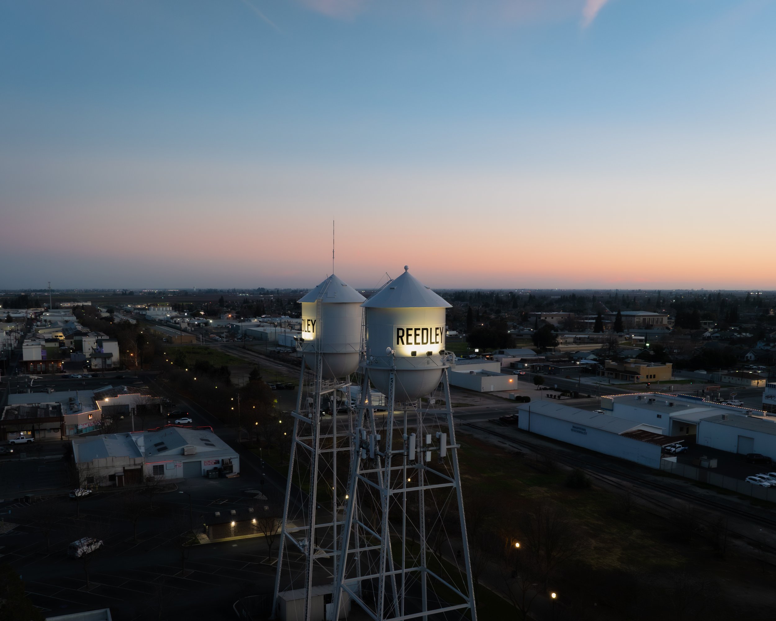
Property Marketing: Aerial images boost marketing.
Documentation and Analysis: Historical data for reviews.